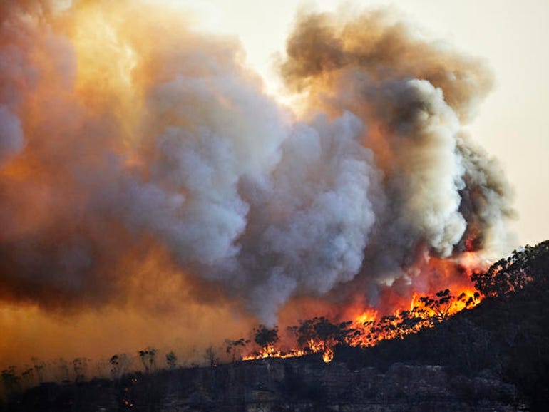
A new study has revealed that mobile phone signals and data could potentially be used as a tool to identify bushfire smoke levels in the future.
Researchers from Monash University’s Department of Civil Engineering and School of Earth, Atmosphere and Environment teamed up with the Bureau of Meteorology and researchers from The Netherlands’ Delft University of Technology and Wageningen University, to carry out the study.
The researchers analysed the way phone signals fluctuated during the horrific 2019-2020 black summer bushfires within greater Melbourne.
As part of the study, which was led by Monash University’s Department of Civil Engineering research fellow Dr Adrien Guyot, the results showed that when large amounts of smoke formed, it acted as a “lid” and resulted in “irregular broadcast conditions” for radio links and other weather radars.
“Unique signal patterns were identified and shown to be related to these specific atmospheric conditions and smoke concentrations by analysing the received signal levels of these links,” the research said.
The research paper also revealed that using mobile phone signals could be a more affordable and accurate alternative to current tools that are used to measure air quality.
“Monitoring of air quality … is routinely conducted by governmental agencies using dedicated stations and instrumental setup … due to the prohibitive cost of maintaining air quality stations, local measurements … are scarce and often localised in densely populated urban areas,” it said.
Mobile phone signals are already being used as a way to accurately measure rainfall and humidity, the study said.
The research noted one drawback about this method, however, is that there could be inaccuracies caused by weather events such as rainfall or fog.
“Future research should be conducted on these potentially simultaneous physical impacts on signal levels,” the paper stated.
Despite the drawback, Guyot believes that such smoke prediction capabilities could be used together with other technologies such as satellite remote sensing, weather radar, and remote sensing to warn residents about potential fire dangers.
“I can see this data being ingested in predictive capabilities no earlier than a couple of years from now, only once the technology and the understanding of processes will have reached maturity. This essentially depends on if adequate human resources and financial support are allocated to its development,” he said.
In the wake of the black summer bushfires, the federal government announced it would spend AU$37.1 million to improve the resiliency of the nation’s telco infrastructure.
In December, the company responsible for the rollout of the national broadband network unveiled its first disaster satellite service at Namadgi in the Australian Capital Territory, after the fires had impacted 1% of all NBN services.


